SERVICES
DATA MANAGEMENT
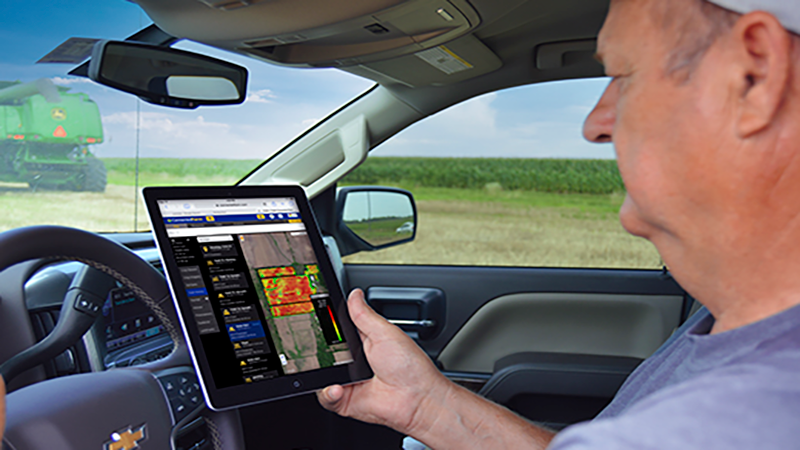
From survey data to PTx displays, shapefiles to A/B lines — OneAg’s specialist team converts, cleans and configures your precision ag, survey and machine data so it works exactly where you need it.
Modern operations pull data from a dozen sources — drones, surveyors, legacy systems, contractors and third parties. None of them speak the same language. We bridge those gaps.
Whether you have a single file that needs converting or a complex ongoing data management requirement, our team wants to hear from you. No job too small, no format too obscure.
WHAT WE OFFER
Whether it’s a one-off conversion or ongoing data management, our specialists handle it using professional-grade GIS and precision ag software.
AB LINES & BOUNDARIES
We create, clean and convert all guidance line types — straight AB, curved, feature and headland lines — configured precisely for your display, field shape and machine requirements.
LEGACY DATA
Inherited data in obscure formats from a previous contractor? We handle file types others won’t touch, preserving your precision work and making it available on current displays.
INFRASTRUCTURE & CIVIL SOURCES
Laying fibre optic cable, managing irrigation or recording drainage works? We convert your shapefiles directly into AGF, Trimble or other guidance formats saving significant costs.
DRONE & SURVEY
Got your field surveyed by drone? We convert DJI exports into formats ready for water management programs, field levelling and precision application maps — no manual re-entry required.
Our experienced team can help you with any of your land and water management design requirements, so reach out today for an obligation-free discussion.

COMPANY
LEGAL